Barind Tract
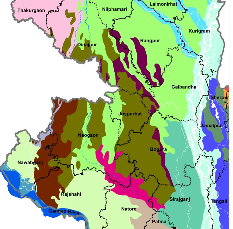
Barind Tract is one of the important agro-ecological zones in Bangladesh. It is located in the NW part. The largest physiographic unit of the Bengal Basin is considered as most drought-prone area. The zone can be categorized as High, Level and North-eastern Barind Tract.
This region is vulnerable to periodic drought and the drought has affected crop production regularly since the independence of Bangladesh. This means that there is a lack of water for cultivation. The main river lies in the area is the Ganges River, the parent of the Gorai. Discharge of the river decreases might have resulted in water scarcity in the region.
Recent analysis shows that the mean annual temperature has increased by 0.0240C per year during 1971 to 2012. The maximum temperature rose above 35OC in April. The rice crop will reduce the crop yield considerably. Additionally, average rainfall during monsoon is declining (about 225 mm to 200mm during 1971 to 2010) which hampers the production of the T. Aman rice. This is due to the shortage of water and needs supplementary irrigation. Rice is the main agricultural products in the Rajshahi region.
People use GW for crop production to mitigate the scarcity of water for irrigation. In addition to that, farmers are using organic fertilizer. That helps soil to retain water and reduces the water loss which ultimately helps the growing of crops to cope with the drought condition. Some farmers have re-excavated the ponds to store rainwater to use them for irrigation purposes in the dry season.
Furthermore, local farmers are going for a crop diversification approach. The trend indicates that they are not relying on the rice as it takes more water. Rather they are going for low water demanding crops like Wheat, mustard, mungbean and chickpea in the dry season. The tendency of using limited resources is for the best profit by cultivating more than one crop at a time on the same land by irrigating the same amount of water. Besides, farmers are now diverting the field crops to mango, guava, papaya, banana and jujube orchard while some are planting short period based on Aus and T. Aman that requires less water.
General Information of the Padma River The Padma is the most dynamic river in Bangladesh. The length of the river is about 100km. It originated from Paturia and its outfalls with the Upper Meghna River. It is a braided river. Padma carries the combined flow of the Jamuna and the Ganges Rivers. The river planform…
Bend Development Process Meanders are the result of erosion-deposition processes tending toward the most stable form in which the variability of certain essential properties is minimized and this minimization involves the adjustment of the planimetric geometry and the hydraulic factors of depth, velocity, and local slope. Bend development process is very active in the major…
The Kosi River is one of the most dynamic river in the world. It originates from Himalayas and passes by China, Nepal and India before joining with the Ganges River at Kursela, Bihar, India. The total length of the river is about 720 km. Planform Nature The planform nature of the Kosi River differs it…
Bend Oscillation of the Padma River The Padma River is a very dynamic river and it has meandering bend. The bend development and bend oscillation is prominent in this river. However, it is essential to assess the type of the channel whether it is stable or actively meandering channel. Besides, time-series satellite images analysis would…
Understanding of the dynamic of the confluence is very important for proper planning and management of the river. It not only change the bifurcation of the Lower Meghna River at the downstream but also it altered the shifting of the banklines along its both banks. This section provides the dynamic of the Lower Meghna River…
This section mainly gives information of the Jamuna River at the immediate upstream of the Jamuna Bridge. It provides the detailings of the channel from 1973 to 2020 with an interval of an nearly five years. River Dynamics in 1973 River pattern in 1980 Dynamics of the Jamuna River Figures explains the fact that river…