The Shibsa River
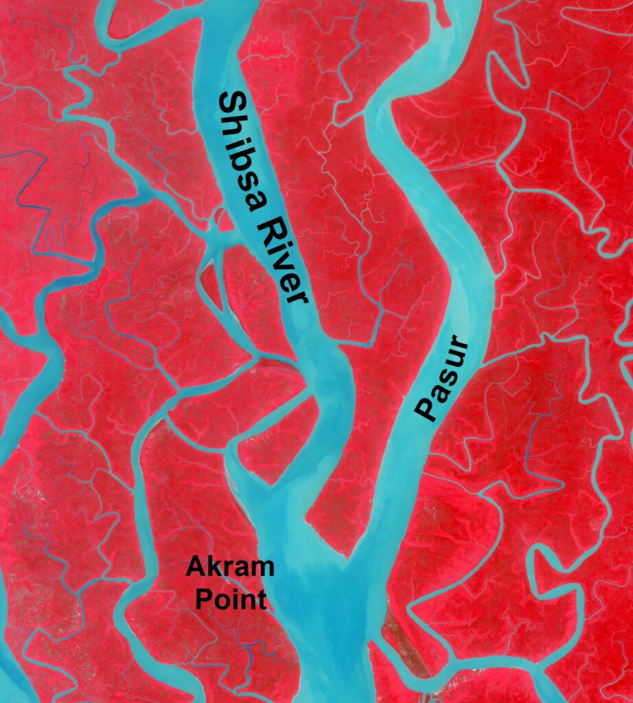
The Shibsa River is one of the main river in S-W region of Bangladesh. It flows parallel to the Pasur R and joins at the d/s. It plays key role like the Pasur R. Mainly, it emerges from the Kapotaskho R and gets the flow from the u/s. The length of the river is 85 km. Its width increases from u/s to d/s with a mean value of 1500 m. It is a tidal river and tides maintain the tidal plain by tidal pumping process from the sea. Also, the river has connected with the other rivers all over the country. Minaj and Chunkuri rivers join and give input of flow to the river. The river also provides the huge amount of flow to the Pasur R that finally drains to the Bay of Bengal.
Moreover, the river is more active than the Baleswar R. Both of its banks erodes every year by fluvial flow, tide and the wave by moving of vessels and cargos in the river. Besides, it is not so dynamic like Gorai R. In addition to that, the river flows inside the Sundarbans.
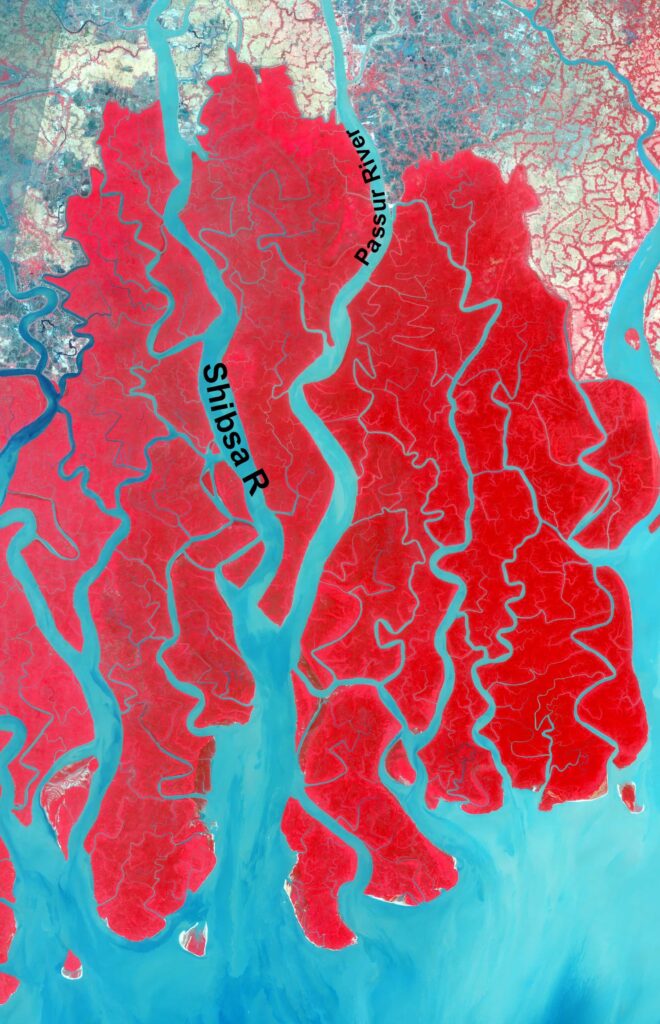
The course of the Shibsa River (Image Source: USGS, Map prepared by the Author) 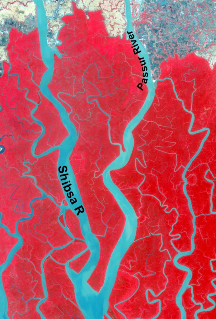
Shibsa flowing through Sundarbans (Image Source: USGS, Map prepared by the Author)
Benefits of the Shibsa River
The Baleswar R plays a vital role in keeping the navigation along its entire course. The depth of the water is present in the whole year for the transport of boats, large vessels, goods as well as people. The river carries silt & clay all the time in a year. Tides also plays key role in ensuring good water web. River also drains water by the side the area. Further, the water of Shibsa R is used for irrigation, daily use, bathing and other uses. Additionally, aquatic species like trees, wildlife, flora, fauna and fish depends on the Shibsa River. The life of people is aided by the river as they catch fish from this river as well. At the same time, they carry to the local market to sell that keeps their life alive.