The Arpangasia River
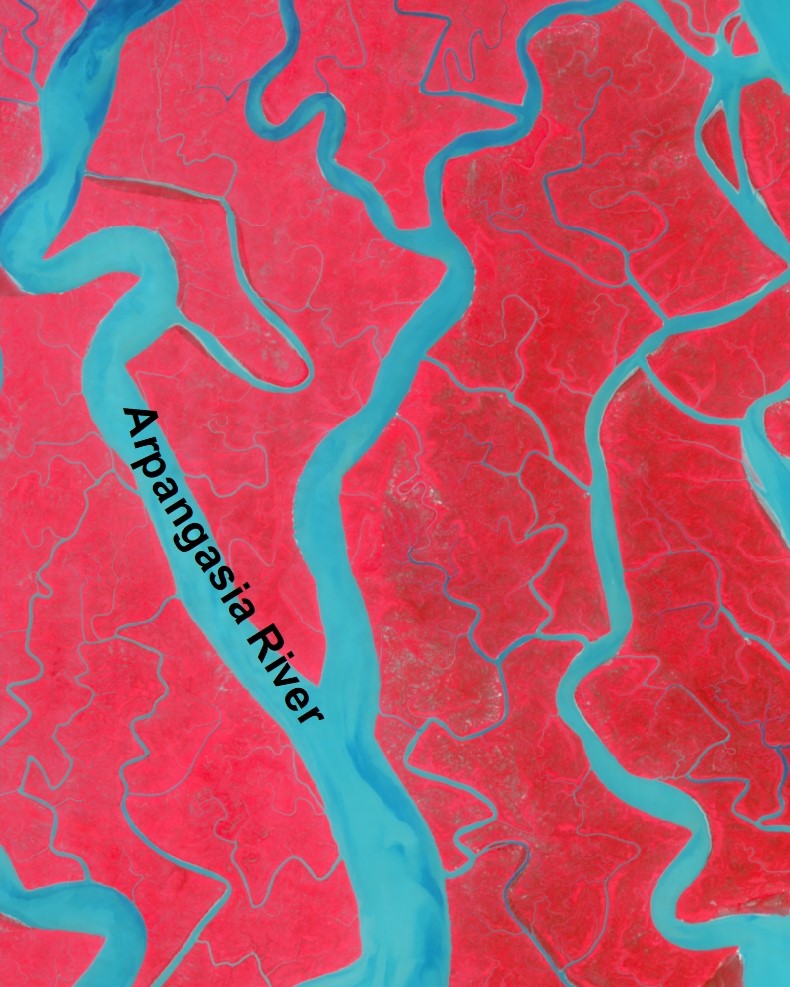
The Arpangasia River is an important river in Sundarbans area and it lies in the in S-W region of Bangladesh. It is not so big river like Pasur R. But the river plays a key role in draining flood water in the monsoon and gets the flow from the Kapotaskho R. It flows in both Khulna and Satkhira District of Bangladesh. It drains directly to the sea.
In addition to that, the river travels in Khulna and Bagerhat District. The length of the river is 65 km. Its width is higher at the d/s end as it gets input at the u/s from other channel. The mean value of width is 1400 m. The shape of the river is mainly aided by the tide as it is a tidal river. The tide affects the tidal plain of this river. It is a tidal river and tides plays active part in keeping the dynamic of the river as well as the aquatic life lies in water. Besides, the river connects the other water system of the whole country.
Moreover, the river is less dynamic than even the Shibsa R. The yearly rate of erosion is close to 25 ha per year and the shifting of bankline is minimal. The salinity is high in the river as it is at the vicinity of the Bay of Bengal. But it reduces in the peak season when the flow from the u/s push back the salinity profile to the sea.
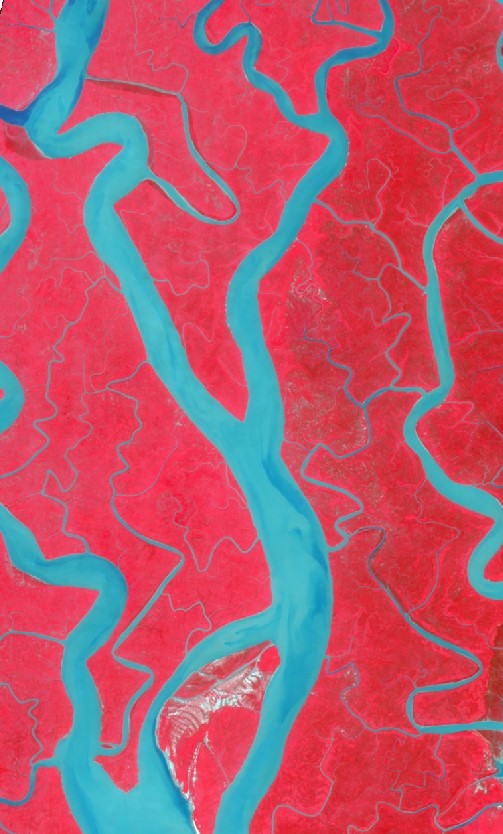
River is flowing through Sundarbans 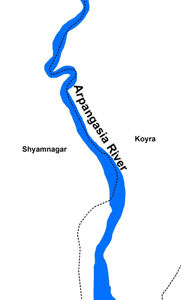
The River – Arpangasia
Necessity of the Arpangasia River
The Arpangasia River provides flow to the Sundarbans where species like trees, flora, fauna, wildlife as well as the people living adjacent to the river. There is enough depth of the river and the navigation is available all round the year. Furthermore, the Arpangasia R plays a vital role for the development of the economy of the country by carrying vessels, cargo and goods. Also, the all portion of the river travels through the forest Sundarbans and maintains the ecosystem of the forest.